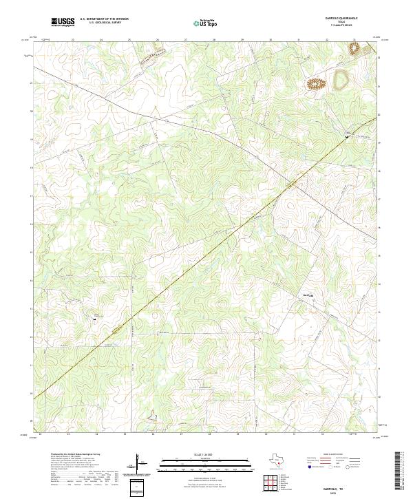
2022 Map of Garfield
USGS Topo · Published 2022About this map
Garfield sits at the heart of a rural Texas landscape where the boundaries of Karnes and DeWitt counties meet. The area is defined by a dendritic network of seasonal waterways, including Thomas Cr and McTennel Cr, which carve through the undulating terrain. Local history is anchored by family and community landmarks such as the Korth Family Cem and Salt Creek Cem, the latter situated near the winding path of Salt Cr in the northeast. This 2022 survey illustrates a region where the road network, including Muschalek Rd and Davy Cemetery Rd, often follows the high ground between creek beds like Dry Ecleto Cr. The settlement pattern remains sparse, centered on ranching and family-held lands that have shaped the county line for generations.
Find a feature on this map
50 named features on this map. Tap any name to fly to it.
Don’t see what you’re looking for? This feature index may not catch every label — zoom into the map to look around manually.
Map Details
Editions of this 2022 Garfield Map
This is the sole edition of this map. No revisions or reprints were ever made.
Other maps of this area

1920 · Smiley
USGS Topo · 1:125,000

1953 · Beeville
USGS Topo · 1:250,000

1953 · Seguin
USGS Topo · 1:250,000

1956 · Beeville
USGS Topo · 1:250,000

1956 · Karnes City
USGS Topo · 1:62,500

1958 · Seguin
USGS Topo · 1:250,000

1960 · Beeville
USGS Topo · 1:250,000

1960 · Helena
USGS Topo · 1:24,000

1961 · Sample
USGS Topo · 1:24,000

1961 · New Davy
USGS Topo · 1:24,000