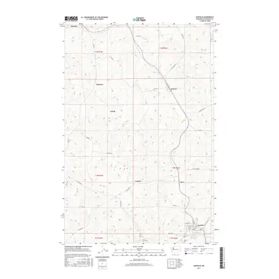
2017 Map of Garfield
USGS Topo · Published 2017About this map
Garfield anchors the southeast corner of this landscape, situated along the banks of Silver Cr where it meets the drainage from the surrounding hills. This section of Whitman County is defined by a dense network of seasonal and perennial streams, including Kelley Cr, McCoy Cr, and Pine Cr, which have shaped the undulating terrain. Small rural settlements and geographic locales such as Belmont, Eden, and Sokulk are connected by a grid of named roads like Black Rd and Farmington Rd, reflecting a long-established agricultural pattern. Genealogists and local historians can locate the Garfield Cem just south of the town center, while following the former rail corridors and siding locations like Walter Siding Rd that once served the Palouse region's grain economy.
Find a feature on this map
43 named features on this map. Tap any name to fly to it.
Don’t see what you’re looking for? This feature index may not catch every label — zoom into the map to look around manually.
Map Details
Editions of this 2017 Garfield Map
This is the sole edition of this map. No revisions or reprints were ever made.
Other maps of this area

1903 · Oakesdale
USGS Topo · 1:125,000

1905 · Oakesdale
USGS Topo · 1:125,000

1910 · Pullman
USGS Topo · 1:125,000

1955 · Pullman
USGS Topo · 1:250,000

1955 · Spokane
USGS Topo · 1:250,000

1958 · Spokane
USGS Topo · 1:250,000

1958 · Pullman
USGS Topo · 1:250,000

1964 · Oakesdale
USGS Topo · 1:24,000

1964 · Elberton
USGS Topo · 1:24,000

1964 · Colfax North
USGS Topo · 1:24,000