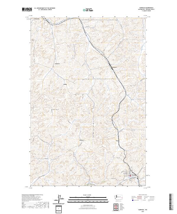
2023 Map of Garfield
USGS Topo · Published 2023About this map
Garfield sits at the southern edge of this topographical study, positioned along the banks of Silver Creek where a network of town streets like W Spokane ST and W Adams ST meet the rural landscape. This portion of Whitman County is defined by its agricultural layout, with long stretches of rural routes named for early settlers and local families, such as Auvil Wagner RD, Stan Pfaff RD, and Bishop RD. These roads connect small clusters of homes and historical transit points like Belmont, Sokulk, and Crabtree.
Find a feature on this map
47 named features on this map. Tap any name to fly to it.
Don’t see what you’re looking for? This feature index may not catch every label — zoom into the map to look around manually.
Map Details
Editions of this 2023 Garfield Map
This is the sole edition of this map. No revisions or reprints were ever made.
Other maps of this area

1903 · Oakesdale
USGS Topo · 1:125,000

1905 · Oakesdale
USGS Topo · 1:125,000

1910 · Pullman
USGS Topo · 1:125,000

1955 · Pullman
USGS Topo · 1:250,000

1955 · Spokane
USGS Topo · 1:250,000

1958 · Spokane
USGS Topo · 1:250,000

1958 · Pullman
USGS Topo · 1:250,000

1964 · Oakesdale
USGS Topo · 1:24,000

1964 · Elberton
USGS Topo · 1:24,000

1964 · Colfax North
USGS Topo · 1:24,000