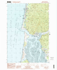
1985 Map of Garibaldi
USGS Topo · Published 1985About this map
The Bayocean Peninsula dominates this coastal landscape, showing the geographic remnants of a once-thriving resort town at Bayocean (Site) after decades of erosion transformed the coastline. Looking across Tillamook Bay, the map reveals the industrial and maritime centers of Garibaldi and Bay City, connected by coastal infrastructure including the Tillamook Bay Coast Guard Sta. The transition from the Pacific Ocean to the sheltered waters of Crab Harbor is marked by the protective South Jetty and North Jetty. Further inland, the terrain rises into the Tillamook State Forest, where numerous creeks like Peterson Creek and Heilmiller Creek drain toward the bay. This mid-1980s data captures a landscape of managed natural resources and small coastal communities like Rockaway and Twin Rocks positioned between the sea and the coastal hills.
Find a feature on this map
60 named features on this map. Tap any name to fly to it.
Don’t see what you’re looking for? This feature index may not catch every label — zoom into the map to look around manually.
Map Details
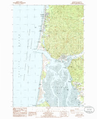
Editions of this 1985 Garibaldi Map
2 editions found
Other maps of this area

1937 · Nehalem
USGS Topo · 1:62,500

1942 · Tillamook
USGS Topo · 1:62,500

1943 · Nehalem
USGS Topo · 1:62,500

1948 · Vancouver
USGS Topo · 1:250,000

1950 · Vancouver
USGS Topo · 1:250,000

1950 · Vancouver
USGS Topo · 1:250,000

1955 · Nehalem
USGS Topo · 1:62,500

1955 · Tillamook
USGS Topo · 1:62,500

1958 · Vancouver
USGS Topo · 1:250,000

1964 · Vancouver
USGS Topo · 1:250,000