
1981 Map of Garland Draw
USGS Topo · Published 1981About this map
Snyder Creek and its southern branch, South Snyder Creek, carve a detailed drainage network across this portion of Niobrara County. The landscape is defined by its numerous topographic depressions and intermittent watercourses, including Graham Draw, Garland Draw, and North Pasture Draw. This area shows the intersection of several township lines, specifically T 41 N, T 40 N, and T 39 N, highlighting the organized grid of the Public Land Survey System in the Wyoming high plains.
Find a feature on this map
13 named features on this map. Tap any name to fly to it.
Don’t see what you’re looking for? This feature index may not catch every label — zoom into the map to look around manually.
Map Details
Editions of this 1981 Garland Draw Map
This is the sole edition of this map. No revisions or reprints were ever made.
Other maps of this area

1955 · Newcastle
USGS Topo · 1:250,000

1958 · Newcastle
USGS Topo · 1:250,000

1979 · Newcastle
USGS Topo · 1:100,000

1981 · Calf Draw
USGS Topo · 1:24,000

1981 · Horseshoe Bend
USGS Topo · 1:24,000

1981 · Dixon Ranch
USGS Topo · 1:24,000
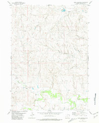
1981 · Boggy Reservoir
USGS Topo · 1:24,000

1981 · Wagonhound Creek NE
USGS Topo · 1:24,000

1981 · Lance Creek
USGS Topo · 1:100,000
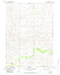
1982 · Poddy Creek
USGS Topo · 1:24,000