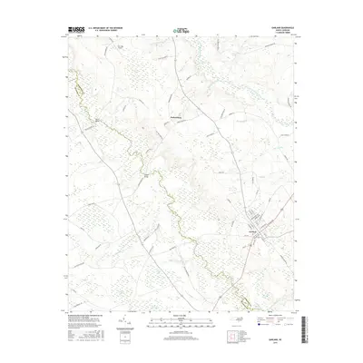
2016 Map of Garland
USGS Topo · Published 2016About this map
The town of Garland serves as the primary hub in this corner of North Carolina, where the local street grid—featuring N Ingold Ave, Odham Ave, and W Front St—meets the regional reach of Highway 701. The landscape is defined by the winding course of the South River, which forms a significant natural boundary and is crossed at key points like Melvin Bridge and Green Bridge. This area is notable for its numerous Carolina bays and wetlands, including Indian Camp Bay, Marry Branch Bay, and Beaver Dam Bay, which illustrate the unique geomorphology of the coastal plain. Historically influenced by local industry and water management, features like the Johnson Mill Race near Little Coharie Creek point to earlier agricultural and milling traditions. Further north, the settlement of Parkersburg sits along the road network near Twin Oak Airport, surrounded by smaller tributaries such as Horsepen Br and Lockamy Mill Br.
Find a feature on this map
75 named features on this map. Tap any name to fly to it.
Don’t see what you’re looking for? This feature index may not catch every label — zoom into the map to look around manually.
Map Details
Editions of this 2016 Garland Map
This is the sole edition of this map. No revisions or reprints were ever made.
Other maps of this area

1953 · Florence
USGS Topo · 1:250,000

1954 · Florence
USGS Topo · 1:250,000

1954 · White Lake
USGS Topo · 1:62,500

1955 · Elizabethtown
USGS Topo · 1:62,500

1959 · Roseboro
USGS Topo · 1:62,500

1959 · Garland
USGS Topo · 1:62,500

1982 · Elizabethtown
USGS Topo · 1:100,000
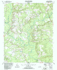
1986 · Ingold
USGS Topo · 1:24,000
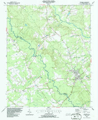
1986 · Garland
USGS Topo · 1:24,000
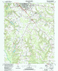
1986 · Clinton South
USGS Topo · 1:24,000