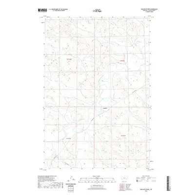
2020 Map of Garland School
USGS Topo · Published 2020About this map
Garland and its surrounding ranchlands are defined by the meandering course of the Tongue River, which cuts a wide valley through this section of Custer County. The 2020 landscape remains dominated by a dense network of seasonal drainages, including Miles Cr, Yank Cr, and Cheever Cr, which feed into the river system. Transport through this prairie terrain relies on the established Tongue River Rd and Foster Creek Rd, reflecting a rural economy centered on the river's path. The map provides a clear look at the township and range boundaries, specifically where t4n r46e and t4n r47e meet the lower sections of t3n r46e and t3n r47e, illustrating the cadastral organization of these Montana lands.
Find a feature on this map
21 named features on this map. Tap any name to fly to it.
Don’t see what you’re looking for? This feature index may not catch every label — zoom into the map to look around manually.
Map Details
Editions of this 2020 Garland School Map
This is the sole edition of this map. No revisions or reprints were ever made.
Other maps of this area

1953 · Miles City
USGS Topo · 1:250,000

1954 · Hardin
USGS Topo · 1:250,000

1954 · Ekalaka
USGS Topo · 1:250,000

1954 · Forsyth
USGS Topo · 1:250,000

1956 · Ekalaka
USGS Topo · 1:250,000

1957 · Miles City
USGS Topo · 1:250,000

1957 · Hardin
USGS Topo · 1:250,000

1957 · Forsyth
USGS Topo · 1:250,000

1958 · Miles City
USGS Topo · 1:250,000

1958 · Ekalaka
USGS Topo · 1:250,000