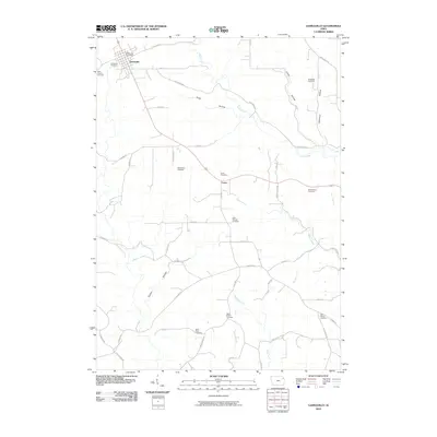
2010 Map of Garnavillo
USGS Topo · Published 2010About this map
Garnavillo serves as the primary hub of this Clayton County landscape, its grid organized around the Garnavillo Post Office and bordered by the Garnavillo Cemetery and Saint Joseph Cemetery. The surrounding countryside is defined by a dense network of hollows and creeks, including Andy Hollow, Butternut Hollow, and Miners Creek, which cut through the high agricultural plateaus.
Find a feature on this map
47 named features on this map. Tap any name to fly to it.
Don’t see what you’re looking for? This feature index may not catch every label — zoom into the map to look around manually.
Map Details
Editions of this 2010 Garnavillo Map
This is the sole edition of this map. No revisions or reprints were ever made.
Other maps of this area

1902 · Elkader
USGS Topo · 1:125,000

1957 · Turkey River
USGS Topo · 1:24,000

1957 · Colesburg
USGS Topo · 1:24,000

1959 · Dubuque
USGS Topo · 1:250,000

1961 · Dubuque
USGS Topo · 1:250,000

1962 · Dubuque
USGS Topo · 1:250,000

1962 · Clayton
USGS Topo · 1:24,000
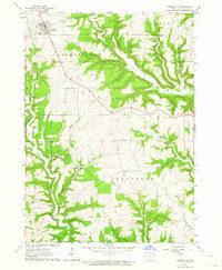
1962 · Garnavillo
USGS Topo · 1:24,000
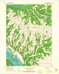
1962 · Bagley
USGS Topo · 1:24,000
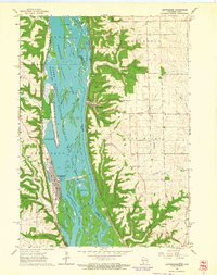
1962 · Guttenberg
USGS Topo · 1:24,000