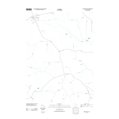
2013 Map of Garnavillo
USGS Topo · Published 2013About this map
Garnavillo serves as the primary hub of this Clayton County landscape, where a grid of streets like W Clayton St and S Adams St meets the outlying agricultural corridors. The terrain is defined by a series of significant drainage basins and named valleys, including Andy Hollow and Butternut Hollow, which feed into the meandering course of Buck Cr. Further south, the settlement of Ceres marks a transition point in the local road network near the waters of Miners Cr.
Find a feature on this map
52 named features on this map. Tap any name to fly to it.
Don’t see what you’re looking for? This feature index may not catch every label — zoom into the map to look around manually.
Map Details
Editions of this 2013 Garnavillo Map
This is the sole edition of this map. No revisions or reprints were ever made.
Other maps of this area

1902 · Elkader
USGS Topo · 1:125,000

1957 · Turkey River
USGS Topo · 1:24,000

1957 · Colesburg
USGS Topo · 1:24,000

1959 · Dubuque
USGS Topo · 1:250,000

1961 · Dubuque
USGS Topo · 1:250,000

1962 · Dubuque
USGS Topo · 1:250,000

1962 · Clayton
USGS Topo · 1:24,000
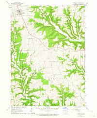
1962 · Garnavillo
USGS Topo · 1:24,000
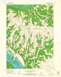
1962 · Bagley
USGS Topo · 1:24,000
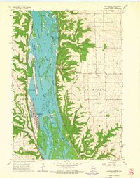
1962 · Guttenberg
USGS Topo · 1:24,000