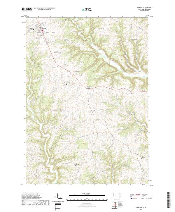
2022 Map of Garnavillo
USGS Topo · Published 2022About this map
Garnavillo serves as the primary hub of this eastern Iowa landscape, situated at the intersection of Co HWY c17 and S Main St. The surrounding countryside is defined by a complex network of deeply incised drainage systems, including Butternut Hollow, Louse Hollow, and Tuecke Hollow, which carve through the uplands. This 2022 survey reveals a rural society deeply rooted in its local geography, with numerous family-named and community burial sites scattered across the township, such as Tangeman Cem, Borcherding Cem, and McClelland Cem. The terrain is drained by several waterways, notably Buck Cr and Miners Cr, which dictate the winding paths of rural routes like Miners Creek Rd and Buck Creek Rd. The presence of the Great River Rd in the northeast corner highlights the area's connection to the larger Mississippi River corridor navigation and travel networks.
Find a feature on this map
61 named features on this map. Tap any name to fly to it.
Don’t see what you’re looking for? This feature index may not catch every label — zoom into the map to look around manually.
Map Details
Editions of this 2022 Garnavillo Map
This is the sole edition of this map. No revisions or reprints were ever made.
Other maps of this area

1902 · Elkader
USGS Topo · 1:125,000

1957 · Turkey River
USGS Topo · 1:24,000

1957 · Colesburg
USGS Topo · 1:24,000

1959 · Dubuque
USGS Topo · 1:250,000

1961 · Dubuque
USGS Topo · 1:250,000

1962 · Dubuque
USGS Topo · 1:250,000

1962 · Clayton
USGS Topo · 1:24,000
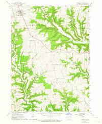
1962 · Garnavillo
USGS Topo · 1:24,000
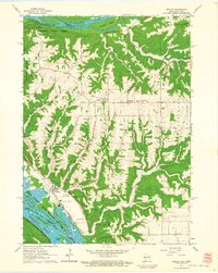
1962 · Bagley
USGS Topo · 1:24,000
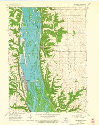
1962 · Guttenberg
USGS Topo · 1:24,000