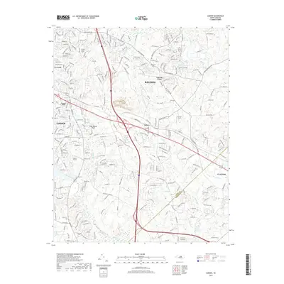
2019 Map of Garner
USGS Topo · Published 2019About this map
Garner and the southeastern periphery of Raleigh anchor this 2019 survey, illustrating the modern development patterns of the Wake County and Johnston County border. The map documents a landscape where residential subdivisions like Cloverdale and Forest Hills meet rural legacies, marked by numerous family burial grounds including Hilliard Cem, Wilson Cem, and Sauls Cem. Transportation corridors define the region, with major routes intersecting near the community of Auburn. The natural drainage of the area is governed by Swift Creek and the Neuse River, which carve through the terrain alongside local aviation sites like Bagwell Airport and Peacock Airport. For genealogists and local historians, the specific placement of Turner Cem and Rand Cem among these growing suburban neighborhoods provides essential spatial context for tracing family roots in this rapidly evolving part of the North Carolina Piedmont.
Find a feature on this map
260 named features on this map. Tap any name to fly to it.
Don’t see what you’re looking for? This feature index may not catch every label — zoom into the map to look around manually.
Map Details
Editions of this 2019 Garner Map
This is the sole edition of this map. No revisions or reprints were ever made.
Other maps of this area

1943 · Raleigh
USGS Topo · 1:62,500

1951 · Raleigh
USGS Topo · 1:62,500

1953 · Raleigh
USGS Topo · 1:250,000

1954 · Raleigh
USGS Topo · 1:250,000

1964 · Lake Wheeler
USGS Topo · 1:24,000

1964 · Garner
USGS Topo · 1:24,000

1964 · Selma
USGS Topo · 1:62,500

1964 · Angier
USGS Topo · 1:24,000

1964 · Clayton
USGS Topo · 1:24,000

1964 · Edmondson
USGS Topo · 1:24,000