
1963 Map of Garner
USGS Topo · Published 1964About this map
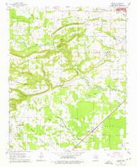
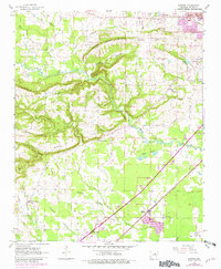
Honey Hill Ridge and Peanut Ridge dominate the central landscape of this White County survey, carved by the winding course of the Des Arc Bayou. The early 1960s terrain shows a transition from the elevated ridges in the west to the lower marshy areas of the Swan Ponds and McKoen Slough. Human settlement follows the lowlands and transportation corridors, most notably along the Missouri Pacific Railroad which connects the southern community of Garner to Higginson in the east.
Find a feature on this map
44 named features on this map. Tap any name to fly to it.
Don’t see what you’re looking for? This feature index may not catch every label — zoom into the map to look around manually.
Map Details
Editions of this 1963 Garner Map
3 editions found
Other maps of this area

1932 · Kensett
USGS Topo · 1:62,500

1935 · Kensett
USGS Topo · 1:62,500

1935 · Bald Knob
USGS Topo · 1:62,500

1953 · Memphis
USGS Topo · 1:250,000

1956 · Memphis
USGS Topo · 1:250,000

1962 · Letona
USGS Topo · 1:24,000

1963 · Floyd
USGS Topo · 1:24,000

1963 · Sidon
USGS Topo · 1:24,000
1963 · Beebe
USGS Topo · 1:24,000
1963 · Mc Rae
USGS Topo · 1:24,000