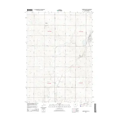
2015 Map of Garretson West
USGS Topo · Published 2015About this map
Coteau des Prairies, a vast glacial plateau, dictates the elevation changes across this western portion of Minnehaha County. The landscape is defined by the sharp descent toward The Palisades and the winding course of Split Rock Creek. In the northeast corner, the settlement of Garretson is positioned near the junction of several local thoroughfares, including 5th St and Essex St. This 2015 survey provides a clear look at the rural infrastructure and land management patterns of the region, where a dense grid of range and township lines like t103n r48w organizes the agricultural expanse. Local history is anchored by the Norway Lutheran Cem and Summit Hill Cem, which sit among the undulating fields. The drainage of W Pipestone Cr further reveals the natural hydrology that shaped early settlement and transportation routes in this corner of South Dakota.
Find a feature on this map
29 named features on this map. Tap any name to fly to it.
Don’t see what you’re looking for? This feature index may not catch every label — zoom into the map to look around manually.
Map Details
Editions of this 2015 Garretson West Map
This is the sole edition of this map. No revisions or reprints were ever made.
Other maps of this area

1955 · Sioux Falls
USGS Topo · 1:250,000

1958 · Sioux Falls
USGS Topo · 1:250,000

1962 · Dell Rapids
USGS Topo · 1:24,000

1962 · Renner
USGS Topo · 1:24,000

1962 · Brandon
USGS Topo · 1:24,000

1962 · Sioux Falls East
USGS Topo · 1:24,000

1962 · Garretson West
USGS Topo · 1:24,000

1967 · Valley Springs
USGS Topo · 1:24,000

1967 · Garretson East
USGS Topo · 1:24,000

1967 · Jasper
USGS Topo · 1:24,000