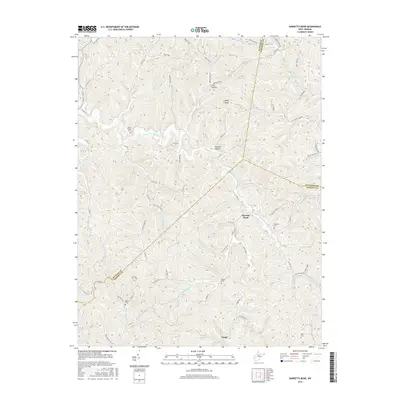
2016 Map of Garretts Bend
USGS Topo · Published 2016About this map
Garretts Bend and Tango sit within a landscape defined by the branching tributaries of the Trace Fork Mud River. The terrain is characterized by prominent ridges like Parsons Ridge and Jarvis Ridge, which separate various hollows such as Flint Hollow and Raccoon Hollow. This survey captures the rural residential patterns of Lincoln, Putnam, and Kanawha counties in the mid-2010s, showing a network of county roads following the winding creek beds and narrow valleys.
Find a feature on this map
90 named features on this map. Tap any name to fly to it.
Don’t see what you’re looking for? This feature index may not catch every label — zoom into the map to look around manually.
Map Details
Editions of this 2016 Garretts Bend Map
This is the sole edition of this map. No revisions or reprints were ever made.
Other maps of this area
1892 · Huntington
USGS Topo · 1:125,000
1898 · Huntington
USGS Topo · 1:125,000
1899 · Charleston
USGS Topo · 1:125,000
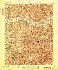
1902 · Milton
USGS Topo · 1:62,500
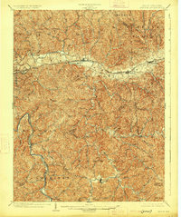
1902 · Midkiff
USGS Topo · 1:62,500
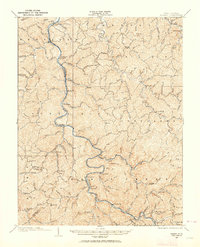
1907 · Midkiff
USGS Topo · 1:62,500
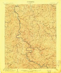
1909 · Midkiff
USGS Topo · 1:62,500
1909 · Saint Albans
USGS Topo · 1:62,500
1911 · Madison
USGS Topo · 1:62,500
1929 · Madison
USGS Topo · 1:62,500