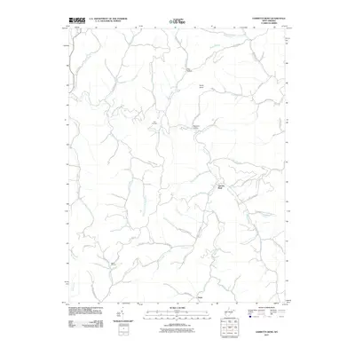
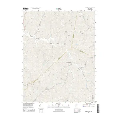
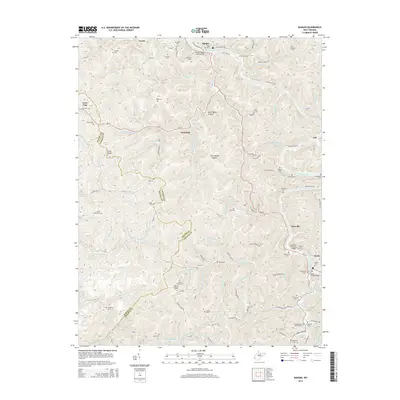
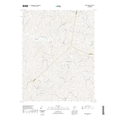
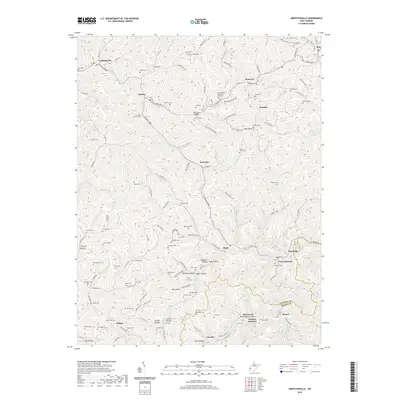
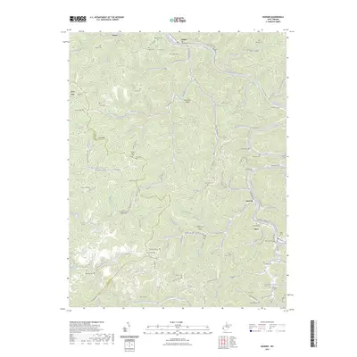
2023 Map of Garretts Bend
USGS Topo · Published 2023About this map
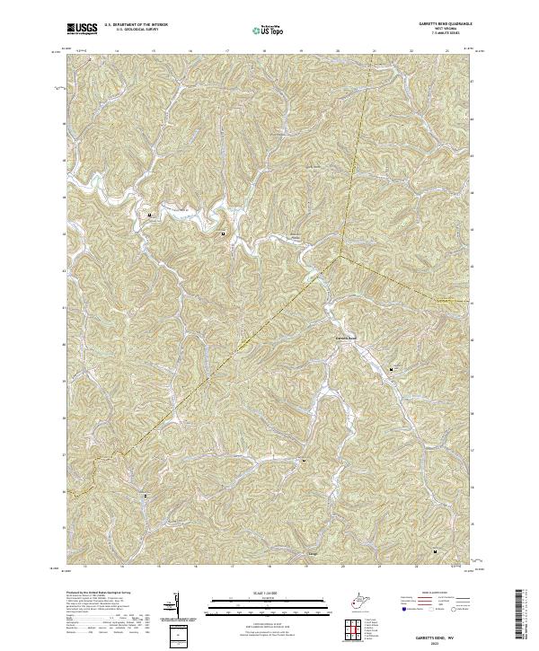
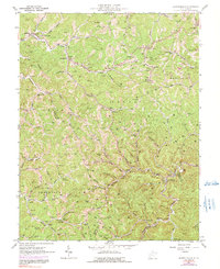
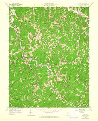
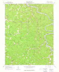
Garretts Bend and Tango anchor this 2023 survey of the West Virginia hill country where Putnam, Lincoln, and Kanawha counties meet. The landscape is defined by the complex drainage of the Trace Fork Mud River and its numerous tributaries, including Toms Branch and Buck Branch. High points like Parsons Ridge and Rocky Knob overlook a dense network of hollows and ridges, such as Guy Hollow and Jarvis Ridge. Genealogists will find a wealth of family burial sites scattered across the difficult terrain, including Mount Moriah Cem, Sanson Cem, and Hayzlett Cem. The settlement pattern follows the narrow valley floors, connected by rural routes like Red Toolhouse Rd and Jonas Trail Rd, reflecting a persistent reliance on the region’s original topographic corridors for modern transport and community layout.
Find a feature on this map
88 named features on this map. Tap any name to fly to it.
Don’t see what you’re looking for? This feature index may not catch every label — zoom into the map to look around manually.
Map Details
Editions of this 2023 Garretts Bend Map
This is the sole edition of this map. No revisions or reprints were ever made.
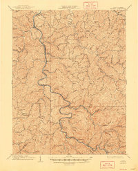
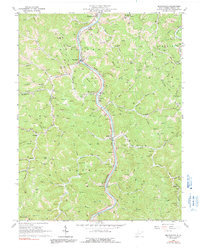
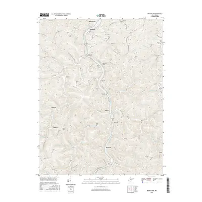
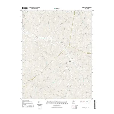
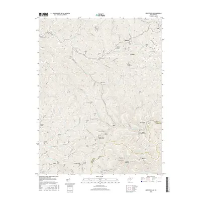
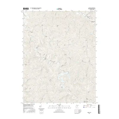
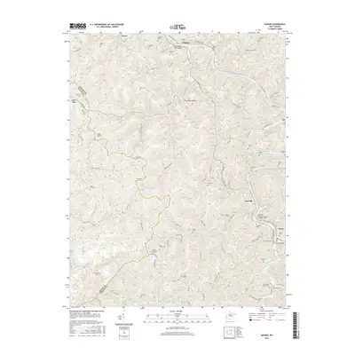
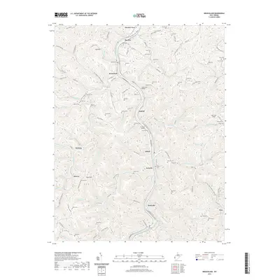
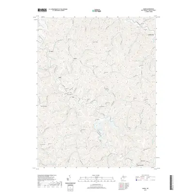
Historical Maps of Alum Creek Through Time
33 maps found

1902 Midkiff
Lincoln County, WV

1907 Midkiff
Lincoln County, WV
1909 Midkiff
Lincoln County, WV
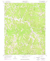
1958 Garretts Bend
Lincoln County, WV
1962 Branchland
Lincoln County, WV
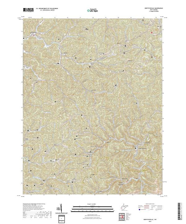
1962 Griffithsville
Lincoln County, WV
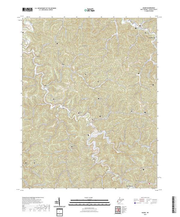
1962 Hager
Lincoln County, WV
1962 Ranger
Lincoln County, WV
2011 Branchland
Lincoln County, WV
2011 Garretts Bend
Lincoln County, WV
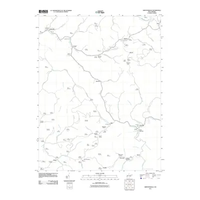
2011 Griffithsville
Lincoln County, WV
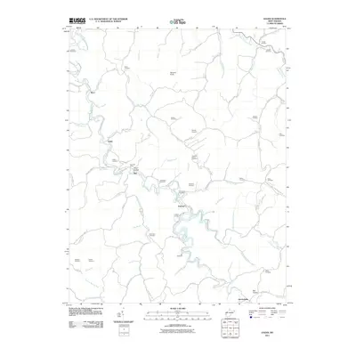
2011 Hager
Lincoln County, WV
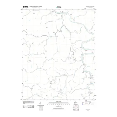
2011 Ranger
Lincoln County, WV
2014 Branchland
Lincoln County, WV
2014 Garretts Bend
Lincoln County, WV
2014 Griffithsville
Lincoln County, WV
2014 Hager
Lincoln County, WV
2014 Ranger
Lincoln County, WV
2016 Branchland
Lincoln County, WV
2016 Garretts Bend
Lincoln County, WV
2016 Griffithsville
Lincoln County, WV
2016 Hager
Lincoln County, WV
2016 Ranger
Lincoln County, WV
2019 Branchland
Lincoln County, WV
2019 Garretts Bend
Lincoln County, WV
2019 Griffithsville
Lincoln County, WV
2019 Hager
Lincoln County, WV
2019 Ranger
Lincoln County, WV
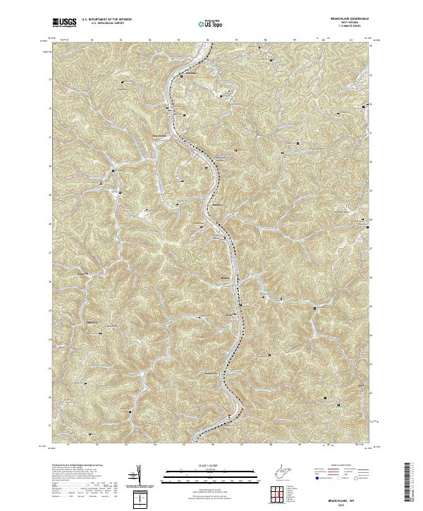
2023 Branchland
Lincoln County, WV
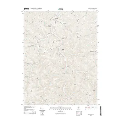
2023 Garretts Bend
Lincoln County, WV
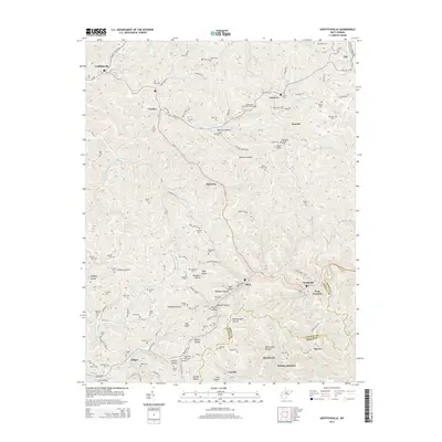
2023 Griffithsville
Lincoln County, WV
2023 Hager
Lincoln County, WV
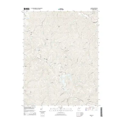
2023 Ranger
Lincoln County, WV