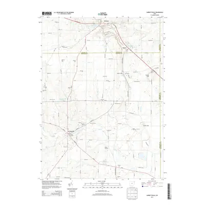
2013 Map of Garrettsville
USGS Topo · Published 2013About this map
The Grand River carves through the northern reaches of this landscape, creating the prominent Parkman Gorge just east of the village of Parkman. This northeastern Ohio terrain is defined by a dense network of family-owned agricultural operations, such as Taft Dairy Farm, Sedensky Farm, and the Nelson Christmas Tree Farm. To the southwest, the village of Garrettsville sits at the confluence of several waterways, including Eagle Cr and Silver Cr, serving as a central hub for the surrounding rural townships. The map is particularly useful for genealogists, as it identifies several burial grounds including Abbot Cem, Park Cem, and Keiper Tuller Cem. Unique landmarks like Gates Airport and the geological formations of Nelson Ledge and Kennedy Ledge offer insight into the local aviation and natural history of the region where Geauga, Portage, and Trumbull counties meet.
Find a feature on this map
105 named features on this map. Tap any name to fly to it.
Don’t see what you’re looking for? This feature index may not catch every label — zoom into the map to look around manually.
Map Details
Editions of this 2013 Garrettsville Map
This is the sole edition of this map. No revisions or reprints were ever made.
Other maps of this area

1905 · Bristolville
USGS Topo · 1:62,500

1905 · Garrettsville
USGS Topo · 1:62,500

1906 · Ravenna
USGS Topo · 1:62,500

1907 · Bristolville
USGS Topo · 1:62,500

1907 · Garrettsville
USGS Topo · 1:62,500

1908 · Warren
USGS Topo · 1:62,500

1908 · Ravenna
USGS Topo · 1:62,500

1950 · Cleveland
USGS Topo · 1:250,000

1952 · West Farmington
USGS Topo · 1:24,000

1952 · Southington
USGS Topo · 1:24,000