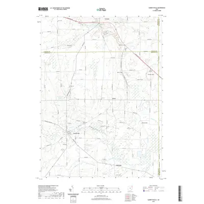
2019 Map of Garrettsville
USGS Topo · Published 2019About this map
Garrettsville sits at the heart of this landscape where the Grand River and Eagle Cr shape the terrain. The region is marked by significant geological formations, including the dramatic Parkman Gorge and the extensive rock outcroppings of Nelson Ledge, Kennedy Ledge, and Newels Ledge. These natural features provided a backdrop for early settlement, visible here through an extensive network of family and community burial sites such as Mumford Cem, Abbot Cem, and the Kennedy Ledge Cem.
Find a feature on this map
113 named features on this map. Tap any name to fly to it.
Don’t see what you’re looking for? This feature index may not catch every label — zoom into the map to look around manually.
Map Details
Editions of this 2019 Garrettsville Map
This is the sole edition of this map. No revisions or reprints were ever made.
Other maps of this area

1905 · Bristolville
USGS Topo · 1:62,500

1905 · Garrettsville
USGS Topo · 1:62,500

1906 · Ravenna
USGS Topo · 1:62,500

1907 · Bristolville
USGS Topo · 1:62,500

1907 · Garrettsville
USGS Topo · 1:62,500

1908 · Warren
USGS Topo · 1:62,500

1908 · Ravenna
USGS Topo · 1:62,500

1950 · Cleveland
USGS Topo · 1:250,000

1952 · West Farmington
USGS Topo · 1:24,000

1952 · Southington
USGS Topo · 1:24,000