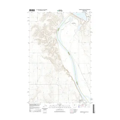
2014 Map of Garrison Dam South
USGS Topo · Published 2014About this map
Lake Sakakawea and the Missouri River dominate this Central North Dakota landscape, marking the transition below the massive water management works at the Mercer and McLean county line. The settlement of Riverdale stands at the northeastern edge, overlooking the river valley where the modern Garrison Dam Recreational Airpark and the Wetlands Observation Trail provide public access to the reclaimed riverside.
Find a feature on this map
28 named features on this map. Tap any name to fly to it.
Don’t see what you’re looking for? This feature index may not catch every label — zoom into the map to look around manually.
Map Details
Editions of this 2014 Garrison Dam South Map
This is the sole edition of this map. No revisions or reprints were ever made.
Other maps of this area

1922 · Garrison
USGS Topo · 1:62,500

1948 · Stanton
USGS Topo · 1:62,500

1949 · Stanton
USGS Topo · 1:62,500

1954 · McClusky
USGS Topo · 1:250,000

1958 · McClusky
USGS Topo · 1:250,000

1967 · Stanton SE
USGS Topo · 1:24,000

1967 · Emmet SE
USGS Topo · 1:24,000

1968 · Stanton
USGS Topo · 1:24,000

1968 · Hazen East
USGS Topo · 1:24,000

1969 · Hazen NE
USGS Topo · 1:24,000