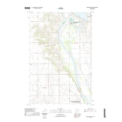
2020 Map of Garrison Dam South
USGS Topo · Published 2020About this map
Riverdale sits at the northern edge of this Missouri River landscape, positioned just below the engineering works of Lake Sakakawea. The terrain is defined by the sharp transition from the river valley to the surrounding plateaus, where local drainages like Elm Cr and Raymond Cr cut through the topography. In the southern portion of the quadrangle, the Knife River Indian Villages National Historic Site preserves a significant cultural landscape on the western bank of the Missouri River, marking a site of long-standing human habitation and commerce. Near the dam, the infrastructure of the Garrison Dam National Fish Hatchery and the Garrison Dam Recreational Airpark highlight the area's development for conservation and utility. Rural landmarks such as Saint Pauls Cem indicate the established agricultural communities that line the grid of local roads like Co Rd 28 and 44th Ave NW.
Find a feature on this map
32 named features on this map. Tap any name to fly to it.
Don’t see what you’re looking for? This feature index may not catch every label — zoom into the map to look around manually.
Map Details
Editions of this 2020 Garrison Dam South Map
This is the sole edition of this map. No revisions or reprints were ever made.
Other maps of this area

1922 · Garrison
USGS Topo · 1:62,500

1948 · Stanton
USGS Topo · 1:62,500

1949 · Stanton
USGS Topo · 1:62,500

1954 · McClusky
USGS Topo · 1:250,000

1958 · McClusky
USGS Topo · 1:250,000

1967 · Stanton SE
USGS Topo · 1:24,000

1967 · Emmet SE
USGS Topo · 1:24,000

1968 · Stanton
USGS Topo · 1:24,000

1968 · Hazen East
USGS Topo · 1:24,000

1969 · Hazen NE
USGS Topo · 1:24,000