Loading...
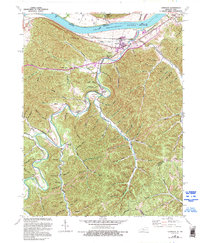
Loading map...1949 Map of Garrison
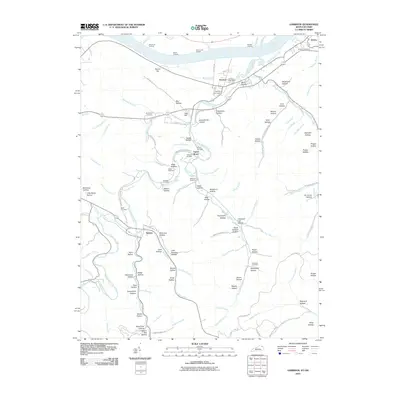
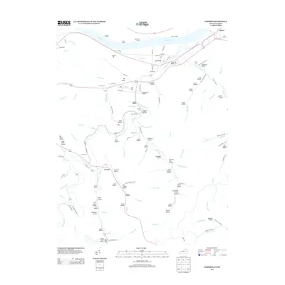
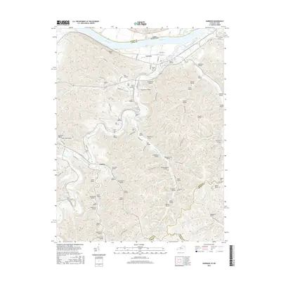
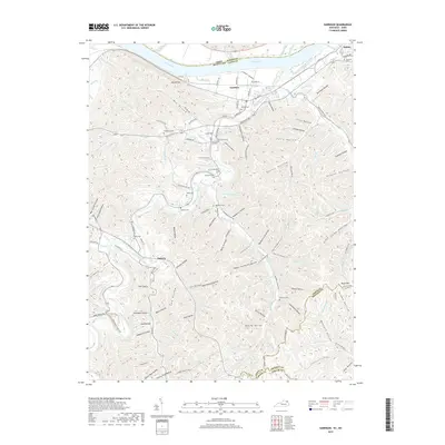
USGS Topo · Published 1976About this map
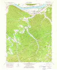
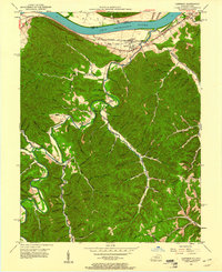
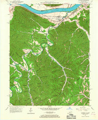
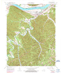
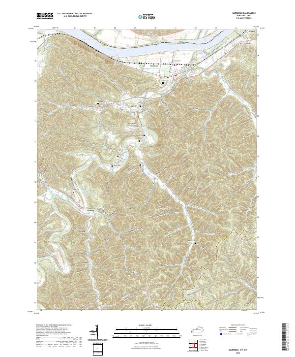
Garrison and Quincy anchor this riverfront landscape along the Ohio River in the late 1940s, where the Chesapeake and Ohio railroad corridor dictates the local economy. The terrain transitions from the river bottom into a dense network of hollows and ridges, including Round Top with its Lookout Tower. This topography is deeply carved by Kinniconick Creek and its many tributaries like Trace Creek and McDowell Creek.
Find a feature on this map
121 named features on this map. Tap any name to fly to it.
Don’t see what you’re looking for? This feature index may not catch every label — zoom into the map to look around manually.
Map Details
Date Portrayed1949
Date Published1976
PublisherU.S. Geological Survey
Map TypeTopographic
Scale1:24,000
Physical Dimensions22.5 x 27.4 inches
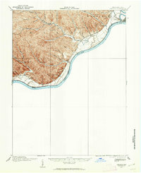
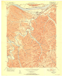
Editions of this 1949 Garrison Map
5 editions found
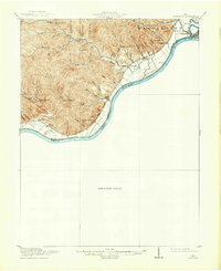
Historical Maps of Garrison Through Time
9 maps found
Featured Locations
Source Details
SourceU.S. Geological Survey
CopyrightPublic Domain