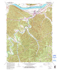
1949 Map of Garrison
USGS Topo · Published 1995About this map
Garrison and Quincy anchor the Kentucky side of the Ohio River in this topographic study, where the Chesapeake and Ohio railroad corridor tracks the southern bank. The landscape is defined by deep hollows and narrow branches, such as Montgomery Creek and McDowell Creek, which carve into the highland plateaus. This area, spanning the Scioto and Lewis County lines, exhibits a classic mid-century rural settlement pattern with numerous family cemeteries like Waring Cem and Hubbard Cem situated on higher ground or near small creek confluences.
Find a feature on this map
99 named features on this map. Tap any name to fly to it.
Don’t see what you’re looking for? This feature index may not catch every label — zoom into the map to look around manually.
Map Details
Editions of this 1949 Garrison Map
5 editions found
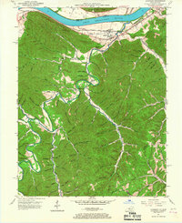
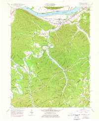
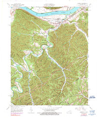
Other maps of this area

1915 · Garrison
USGS Topo · 1:62,500

1918 · Garrison
USGS Topo · 1:62,500

1919 · Vanceburg
USGS Topo · 1:62,500

1949 · Pond Run
USGS Topo · 1:24,000

1949 · Vanceburg
USGS Topo · 1:62,500

1949 · Garrison
USGS Topo · 1:24,000

1949 · Friendship
USGS Topo · 1:24,000

1949 · Buena Vista
USGS Topo · 1:24,000

1949 · Vanceburg
USGS Topo · 1:24,000

1949 · Brushart
USGS Topo · 1:24,000