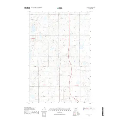
2020 Map of Garrison NE
USGS Topo · Published 2020About this map
The rolling prairies of McLean County are defined by a grid of agricultural section lines and township boundaries, including the junction of t149n r84w and t149n r83w. This landscape is marked by numerous small wetlands and prairie potholes that dictate the winding paths of rural roads like 18th St NW and 17th St NW. For those tracing the heritage of early North Dakota settlers, the map identifies specific burial grounds that serve as anchors for the rural community. The Kloestitz German Cem and Saint Paul's Cem stand as significant markers of the area's ancestral history. Local transit and agricultural transport rely on a network of primary routes such as Co Hwy 4 and Co Hwy 6, which connect the scattered farmsteads across this section of the state.
Find a feature on this map
19 named features on this map. Tap any name to fly to it.
Don’t see what you’re looking for? This feature index may not catch every label — zoom into the map to look around manually.
Map Details
Editions of this 2020 Garrison NE Map
This is the sole edition of this map. No revisions or reprints were ever made.
Other maps of this area

1922 · Garrison
USGS Topo · 1:62,500

1929 · Coleharbor
USGS Topo · 1:62,500

1929 · Benedict
USGS Topo · 1:62,500

1954 · McClusky
USGS Topo · 1:250,000

1958 · McClusky
USGS Topo · 1:250,000
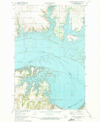
1972 · Garrison Dam North
USGS Topo · 1:24,000
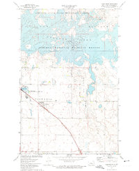
1972 · Coleharbor
USGS Topo · 1:24,000
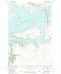
1972 · Riverdale North
USGS Topo · 1:24,000
1974 · Garrison NW
USGS Topo · 1:24,000
1974 · Benedict SW
USGS Topo · 1:24,000