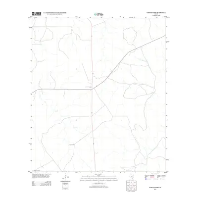
2012 Map of Garven Store
USGS Topo · Published 2012About this map
The Divide Community House serves as a central landmark for this rural portion of the Edwards Plateau, where the landscape is defined more by water sources and drainage than by dense settlement. The upper reaches of the N Fork Guadalupe River carve through the eastern section of the quadrangle, while the western terrain is marked by the intermittent flow of Paint Cr. Ranching infrastructure is prominent across the sheet, with named features such as the Buffalo Windmill and Buckhorn Windmill highlighting the necessity of groundwater management in this Texas hill country environment. A notable natural reliable water source, the Black Jack Waterhole, provides a specific point of interest for those tracing historical land use or regional geography in Kerr County.
Find a feature on this map
6 named features on this map. Tap any name to fly to it.
Don’t see what you’re looking for? This feature index may not catch every label — zoom into the map to look around manually.
Map Details
Editions of this 2012 Garven Store Map
This is the sole edition of this map. No revisions or reprints were ever made.
Other maps of this area

1954 · Llano
USGS Topo · 1:250,000

1954 · San Antonio
USGS Topo · 1:250,000

1955 · Llano
USGS Topo · 1:250,000

1956 · Llano
USGS Topo · 1:250,000

1957 · San Antonio
USGS Topo · 1:250,000

1963 · Garven Store
USGS Topo · 1:24,000

1963 · Y O Ranch
USGS Topo · 1:24,000

1964 · Hillcrest Ranch
USGS Topo · 1:24,000

1964 · Boneyard Draw
USGS Topo · 1:24,000

1964 · Well Hollow
USGS Topo · 1:24,000