2022 Map of Garwood
USGS Topo · Published 2022About this map
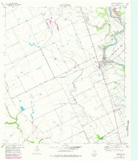
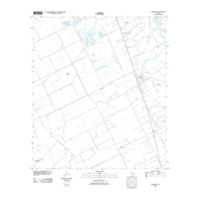
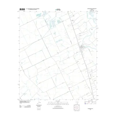
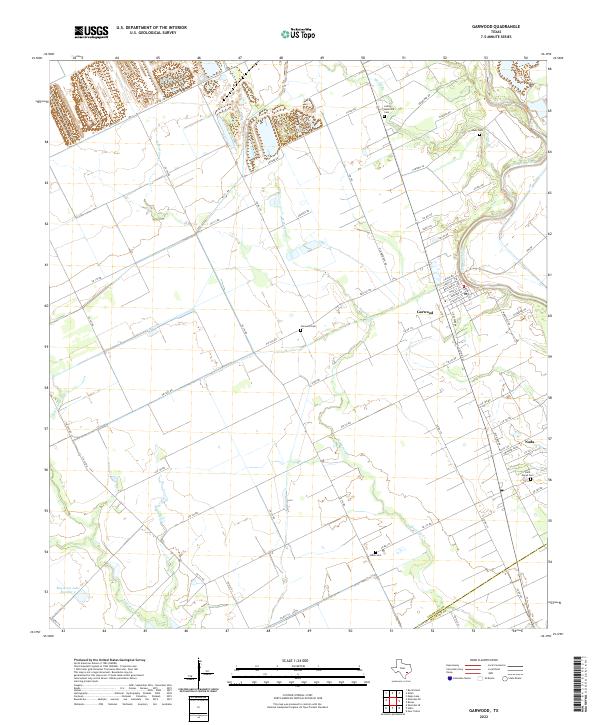
Garwood and the nearby community of Nada anchor this rural landscape in Colorado County, where the Colorado River defines the eastern geography. The terrain is a network of drainage systems including W Mustang Cr, Pinoak Cr, and Bucksnag Cr, which carve through the agricultural fields that dominate the area. The map reveals a high concentration of small family and community burial grounds, such as Lehrer Memorial Cem, Abell Cem, and Saint Marys Cem, offering significant data for genealogists tracing local lineage. Evidence of rural infrastructure is visible in the grid of local routes like Co RD 114 and FM 1693 RD, while the layout of Garwood shows a concentrated residential pocket with streets such as Canal St and Boulden St. The presence of Engstrom Lake Number 2 and various unnamed water features suggests the importance of water management in this coastal prairie environment.
Find a feature on this map
63 named features on this map. Tap any name to fly to it.
Don’t see what you’re looking for? This feature index may not catch every label — zoom into the map to look around manually.
Map Details
Editions of this 2022 Garwood Map
This is the sole edition of this map. No revisions or reprints were ever made.
Historical Maps of Nada Through Time
6 maps found