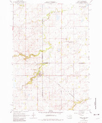
1967 Map of Gary
USGS Topo · Published 1981About this map
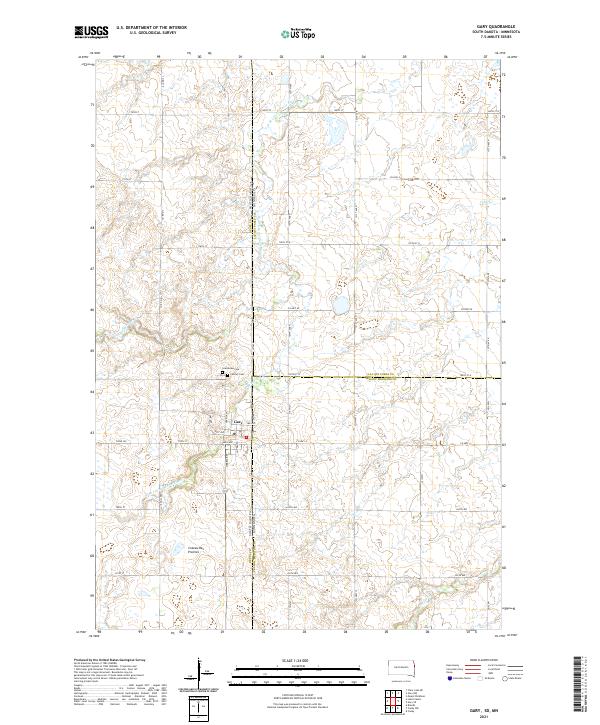
Gary sits at a geographic and political crossroads where the Lac qui Parle River and its West Branch meet along the South Dakota-Minnesota border. The town is a primary hub of activity in this 1967 survey, served by the Chicago and North Western railroad. To the west, an Old Railroad Grade marks a legacy of changing transportation routes, while nearby Calvary Cem and the settlement at Grandview provide important markers for local genealogical research. The landscape is defined by managed conservation lands, including the Lac qui Parle State Game Refuge and the Plantation State Wildlife Management Area. Numerous small waterways like Monighan Creek and Florida Creek drain the surrounding townships of Glenwood, Manfred, and Herrick, supporting the rural agricultural and conservation character of the region.
Find a feature on this map
25 named features on this map. Tap any name to fly to it.
Don’t see what you’re looking for? This feature index may not catch every label — zoom into the map to look around manually.
Map Details
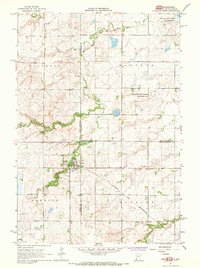
Editions of this 1967 Gary Map
2 editions found
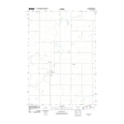
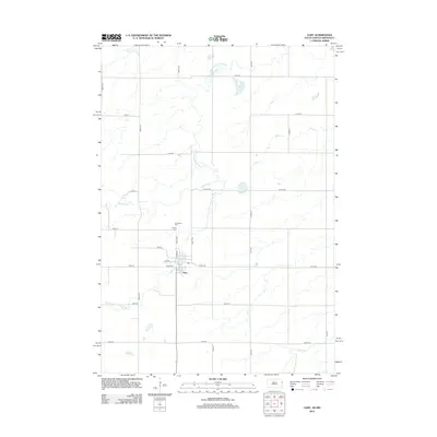
Historical Maps of Gary Through Time
6 maps found
Featured Locations
- Lac qui Parle County, MN
- Yellow Medicine County, MN
- Glenwood Township, SD
- Herrick Township, SD
- Gary, Herrick Township