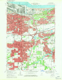
1968 Map of Gary
USGS Topo · Published 1970About this map
Gary's industrial heart and expanding residential grid dominate this late 1960s study, revealing a landscape defined by an intricate network of steel and transit. The Grand Calumet River and Little Calumet River slice through the urban fabric, while the massive infrastructure of the Indiana Toll Road and the Tri-State Highway reshape the city's south. The map documents an era of dense neighborhood development, from the established wards of Glen Park to the outlying communities of New Chicago and Hobart.
Find a feature on this map
113 named features on this map. Tap any name to fly to it.
Don’t see what you’re looking for? This feature index may not catch every label — zoom into the map to look around manually.
Map Details
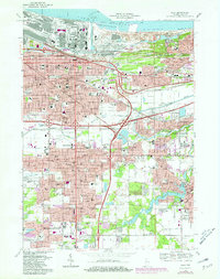
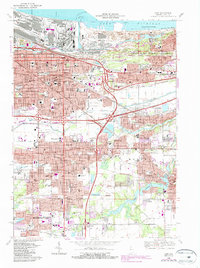
Editions of this 1968 Gary Map
3 editions found
Other maps of this area

1900 · Toleston
USGS Topo · 1:62,500

1934 · Porter
USGS Topo · 1:48,000

1940 · Porter
USGS Topo · 1:62,500

1953 · St. John
USGS Topo · 1:24,000

1953 · Palmer
USGS Topo · 1:24,000

1953 · Gary
USGS Topo · 1:24,000

1953 · Crown Point
USGS Topo · 1:24,000
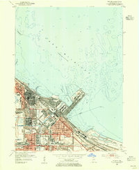
1953 · Whiting
USGS Topo · 1:24,000

1953 · Garyton
USGS Topo · 1:24,000

1953 · Ogden Dunes
USGS Topo · 1:24,000