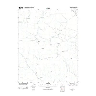
2012 Map of Garza Peak
USGS Topo · Published 2012About this map
Kreyenhagen Ranch and Clark Ranch anchor the northern reaches of this Kings County landscape, characterized by a complex network of canyons and high desert peaks. The drainage patterns of Avenal Cr and Garza Cr carve through the terrain, leading toward significant landmarks like Garza Peak and the Chalk Buttes. The placement of Wade Baxter Spring and Sulphur Spring suggests the vital role of water sources in this arid environment, supporting local ranching operations and a Boy Scout Camp.
Find a feature on this map
34 named features on this map. Tap any name to fly to it.
Don’t see what you’re looking for? This feature index may not catch every label — zoom into the map to look around manually.
Map Details
Editions of this 2012 Garza Peak Map
This is the sole edition of this map. No revisions or reprints were ever made.
Other maps of this area

1912 · Coalinga
USGS Topo · 1:125,000

1914 · Cholame
USGS Topo · 1:125,000

1915 · Cholame
USGS Topo · 1:125,000

1917 · Cholame
USGS Topo · 1:125,000

1930 · Discovery Well
USGS Topo · 1:31,680

1930 · Canoas Creek
USGS Topo · 1:31,680

1930 · Kettleman Plain
USGS Topo · 1:31,680

1933 · Kettleman Plain
USGS Topo · 1:31,680

1934 · The Dark Hole
USGS Topo · 1:31,680

1934 · Reef Ridge
USGS Topo · 1:31,680