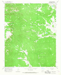
1965 Map of Gascon
USGS Topo · Published 1968About this map
Santa Fe National Forest dominates this mid-1960s landscape, where the high-altitude terrain is carved by the Rio de la Casa and Santiago Creek. The transition from the Pecos Wilderness on the western edge toward the settlements of the east reveals a network of high-mountain waters, including Santiago Lake, Enchanted Lake, and Pacheco Lake. Small communities like Gascon and Pacheco Village sit at the base of the peaks, with the latter featuring the Santo Niño Chapel. A complex system of Pack Trails and Jeep Trails provides the primary access to the backcountry, linking historical camps like Camp Davis to prominent landmarks such as Pyramid Peak and Gascon Point. This survey captures the rural character of Mora County before modern development, detailing the remote canyons of Ute Canyon and Capulin Canyon.
Find a feature on this map
36 named features on this map. Tap any name to fly to it.
Don’t see what you’re looking for? This feature index may not catch every label — zoom into the map to look around manually.
Map Details
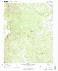
Editions of this 1965 Gascon Map
2 editions found
Other maps of this area

1889 · Las Vegas
USGS Topo · 1:125,000

1889 · Santa Fe
USGS Topo · 1:125,000

1891 · Las Vegas
USGS Topo · 1:125,000

1893 · Las Vegas
USGS Topo · 1:125,000

1894 · Santa Fe
USGS Topo · 1:125,000

1954 · Santa Fe
USGS Topo · 1:250,000

1954 · Raton
USGS Topo · 1:250,000

1958 · Raton
USGS Topo · 1:250,000

1958 · Santa Fe
USGS Topo · 1:250,000
1963 · Pecos Falls
USGS Topo · 1:24,000