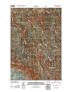
2011 Map of Gasset Bluff
USGS Topo · Published 2011About this map
Grey Mountain and the prominent rising face of Gasset Bluff overlook the transition from the forested upper canyons of the Blue Mountains down into the productive agricultural expanse of the Grande Ronde Valley. This survey documents a complex drainage network where the North Fork Indian Creek and Little Indian Creek flow southward, eventually reaching the Grande Ronde River which clips the southwestern corner of the quadrangle. The map details a web of Forest Service and local access routes, including Klinghammer-Mc Nab Rd and Indian Creek Rd, which provide access to the timbered ridges between Shaw Creek and Clark Creek. This terrain reflects the interface between federal forest lands and the valley-floor ranching culture defined by landmarks like Grays Corner Rd and the Kerns Loop.
Find a feature on this map
14 named features on this map. Tap any name to fly to it.
Don’t see what you’re looking for? This feature index may not catch every label — zoom into the map to look around manually.
Map Details
Editions of this 2011 Gasset Bluff Map
This is the sole edition of this map. No revisions or reprints were ever made.
Other maps of this area

1906 · Telocaset
USGS Topo · 1:125,000

1955 · Grangeville
USGS Topo · 1:250,000

1959 · Grangeville
USGS Topo · 1:250,000

1964 · Cricket Flat
USGS Topo · 1:24,000

1964 · Minam
USGS Topo · 1:24,000

1964 · Elgin
USGS Topo · 1:24,000

1965 · Conley
USGS Topo · 1:24,000

1965 · Cove
USGS Topo · 1:24,000
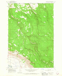
1965 · Gasset Bluff
USGS Topo · 1:24,000
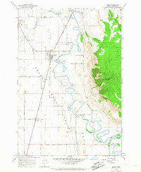
1965 · Imbler
USGS Topo · 1:24,000