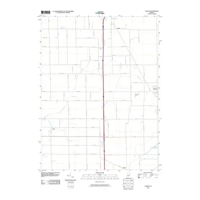
2010 Map of Gaston
USGS Topo · Published 2010About this map
Gaston anchor this portion of Delaware County, where a grid of rural roads like Coffman Rd and Joyner Rd defines the agricultural landscape of east-central Indiana. The area is marked by several small settlements including Janney to the north and Bethel in the south, reflecting a history of distributed township communities. Waterways such as Pipe Creek and its tributary Stem Run wind through the fields, while the managed drainage of Hoppas Ditch indicates the intensive land use of the region. Family and local history is preserved in sites like Thompson Cemetery and Walker Cemetery, which remain as quiet landmarks alongside more modern features like Jim Lake and Emerald Lake. This map captures the region's character as a stable farming and residential corridor at the opening of the 21st century.
Find a feature on this map
65 named features on this map. Tap any name to fly to it.
Don’t see what you’re looking for? This feature index may not catch every label — zoom into the map to look around manually.
Map Details
Editions of this 2010 Gaston Map
This is the sole edition of this map. No revisions or reprints were ever made.
Other maps of this area

1952 · Muncie West
USGS Topo · 1:24,000

1953 · Muncie
USGS Topo · 1:250,000

1956 · Muncie
USGS Topo · 1:250,000

1960 · Gilman
USGS Topo · 1:24,000

1960 · Alexandria
USGS Topo · 1:24,000

1960 · Wheeling
USGS Topo · 1:24,000

1960 · Fairmount
USGS Topo · 1:24,000

1960 · Gas City
USGS Topo · 1:24,000

1960 · Gaston
USGS Topo · 1:24,000

1960 · Anderson North
USGS Topo · 1:24,000