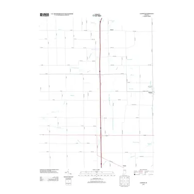
2013 Map of Gaston
USGS Topo · Published 2013About this map
Gaston serves as the primary hub in this portion of Delaware County, centered near the junction of Price Ave and W Elm St. The landscape is defined by an intricate network of agricultural drainage and natural waterways, including Pipe Cr, Polecat Cr, and Killbuck Cr. These water systems, often modified into named ditches like Yeager Finley Manard Ditch and Richard Ditch, illustrate the extensive engineering required to manage the flat till plains for Indiana farming. Small rural clusters like Janney and Bethel anchor the outlying areas, while water bodies such as Emerald Lake and Jackson Lake provide localized geographical markers. The grid of county roads, including Co Line Rd and Co Rd-500, organizes the territory into the traditional township-and-range pattern characteristic of the Midwest during the early 21st century.
Find a feature on this map
72 named features on this map. Tap any name to fly to it.
Don’t see what you’re looking for? This feature index may not catch every label — zoom into the map to look around manually.
Map Details
Editions of this 2013 Gaston Map
This is the sole edition of this map. No revisions or reprints were ever made.
Other maps of this area

1952 · Muncie West
USGS Topo · 1:24,000

1953 · Muncie
USGS Topo · 1:250,000

1956 · Muncie
USGS Topo · 1:250,000

1960 · Gilman
USGS Topo · 1:24,000

1960 · Alexandria
USGS Topo · 1:24,000

1960 · Wheeling
USGS Topo · 1:24,000

1960 · Fairmount
USGS Topo · 1:24,000

1960 · Gas City
USGS Topo · 1:24,000

1960 · Gaston
USGS Topo · 1:24,000

1960 · Anderson North
USGS Topo · 1:24,000