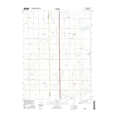
2016 Map of Gaston
USGS Topo · Published 2016About this map
The agricultural landscape of Delaware County is defined by an extensive drainage network along the border with Madison County. This 2016 survey shows the town of Gaston in the east, while smaller settlements like Janney and Bethel anchor the northern and southern reaches of the map. The terrain is notably flat, characterized by a complex system of man-made and natural waterways including Hoppas Ditch, Richard Ditch, and Yeager Finley Manard Ditch. These engineered channels intersect with traditional streams like Pipe Cr and Killbuck Creek, reflecting the region's long history of land management for farming. Genealogists can locate family landmarks such as Walker Cem and Thompson Cem, while environmental features like Old Prairie Swamp and Jackson Lake persist amidst the grid of country roads.
Find a feature on this map
66 named features on this map. Tap any name to fly to it.
Don’t see what you’re looking for? This feature index may not catch every label — zoom into the map to look around manually.
Map Details
Editions of this 2016 Gaston Map
This is the sole edition of this map. No revisions or reprints were ever made.
Other maps of this area

1952 · Muncie West
USGS Topo · 1:24,000

1953 · Muncie
USGS Topo · 1:250,000

1956 · Muncie
USGS Topo · 1:250,000

1960 · Gilman
USGS Topo · 1:24,000

1960 · Alexandria
USGS Topo · 1:24,000

1960 · Wheeling
USGS Topo · 1:24,000

1960 · Fairmount
USGS Topo · 1:24,000

1960 · Gas City
USGS Topo · 1:24,000

1960 · Gaston
USGS Topo · 1:24,000

1960 · Anderson North
USGS Topo · 1:24,000