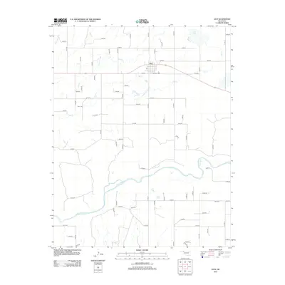
2012 Map of Gate
USGS Topo · Published 2012About this map
Gate serves as the central hub of this eastern Beaver County landscape, situated along a primary east-west corridor. The town layout is clearly defined, with Bundy St marking a key residential and commercial thoroughfare just south of Gate Lake. The surrounding terrain is heavily influenced by the winding course of the Beaver River, which carves a wide path across the southern half of the quadrangle. This riparian system, combined with tributaries like Hog Cr and Horse Cr, dictates the placement of the rural road network and provides a contrast to the high plains above the river valley.
Find a feature on this map
61 named features on this map. Tap any name to fly to it.
Don’t see what you’re looking for? This feature index may not catch every label — zoom into the map to look around manually.
Map Details
Editions of this 2012 Gate Map
This is the sole edition of this map. No revisions or reprints were ever made.
Other maps of this area

1954 · Perryton
USGS Topo · 1:250,000

1955 · Woodward
USGS Topo · 1:250,000

1958 · Perryton
USGS Topo · 1:250,000

1958 · Woodward
USGS Topo · 1:250,000
1970 · Knowles
USGS Topo · 1:24,000
1970 · Gate
USGS Topo · 1:24,000
1970 · Gate NE
USGS Topo · 1:24,000
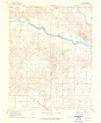
1970 · Gate NW
USGS Topo · 1:24,000
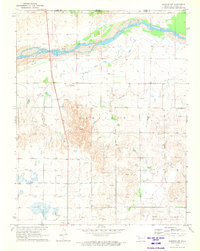
1970 · Rosston NW
USGS Topo · 1:24,000
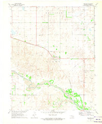
1971 · Rosston
USGS Topo · 1:24,000