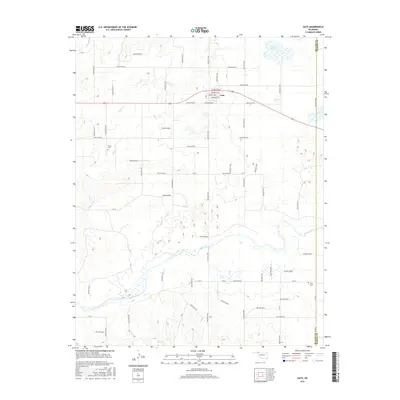
2016 Map of Gate
USGS Topo · Published 2016About this map
The Gate settlement and its surrounding landscape in the Oklahoma Panhandle are defined by the winding course of the Beaver River, which cuts across the southern portion of this 2016 survey. The terrain is deeply etched by a complex system of drainage hollows, including Hollow E0100 and Hollow N1650, which channel seasonal runoff toward the river and major tributaries like Horse Cr and Hog Cr. North of the town center, Gate Lake provides a significant water feature in this otherwise arid environment.
Find a feature on this map
58 named features on this map. Tap any name to fly to it.
Don’t see what you’re looking for? This feature index may not catch every label — zoom into the map to look around manually.
Map Details
Editions of this 2016 Gate Map
This is the sole edition of this map. No revisions or reprints were ever made.
Other maps of this area

1954 · Perryton
USGS Topo · 1:250,000

1955 · Woodward
USGS Topo · 1:250,000

1958 · Perryton
USGS Topo · 1:250,000

1958 · Woodward
USGS Topo · 1:250,000
1970 · Knowles
USGS Topo · 1:24,000
1970 · Gate
USGS Topo · 1:24,000
1970 · Gate NE
USGS Topo · 1:24,000
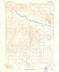
1970 · Gate NW
USGS Topo · 1:24,000
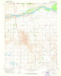
1970 · Rosston NW
USGS Topo · 1:24,000
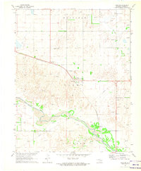
1971 · Rosston
USGS Topo · 1:24,000