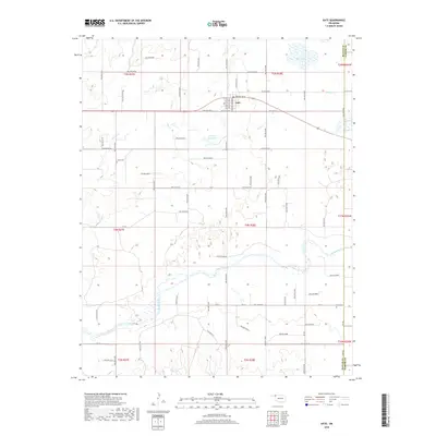
2018 Map of Gate
USGS Topo · Published 2018About this map
Gate sits at the northern edge of this Panhandle landscape, where the confluence of several large hollows and seasonal drainages shapes the local terrain. The town serves as a local hub along US Highway 64, containing the community Po and street names like Crescent Broadway and Branch Main that reflect its small-town grid. South of the settlement, the Beaver River meanders eastward across the quadrangle, flanked by numerous wetlands and sandy flats. For genealogists and local historians, the map identifies significant burial sites including Zelma Cem to the west and Cline Cem near the eastern boundary. The presence of Gate Lake and the 007004 Reservoir highlights the importance of water management in this High Plains environment, where creeks like Hog Cr and Horse Cr carve deep paths through the surrounding prairies.
Find a feature on this map
69 named features on this map. Tap any name to fly to it.
Don’t see what you’re looking for? This feature index may not catch every label — zoom into the map to look around manually.
Map Details
Editions of this 2018 Gate Map
This is the sole edition of this map. No revisions or reprints were ever made.
Other maps of this area

1954 · Perryton
USGS Topo · 1:250,000

1955 · Woodward
USGS Topo · 1:250,000

1958 · Perryton
USGS Topo · 1:250,000

1958 · Woodward
USGS Topo · 1:250,000
1970 · Knowles
USGS Topo · 1:24,000
1970 · Gate
USGS Topo · 1:24,000
1970 · Gate NE
USGS Topo · 1:24,000
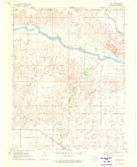
1970 · Gate NW
USGS Topo · 1:24,000
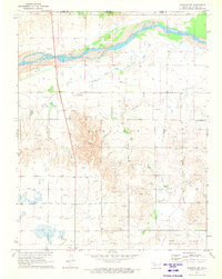
1970 · Rosston NW
USGS Topo · 1:24,000
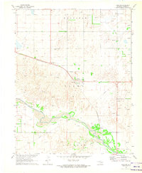
1971 · Rosston
USGS Topo · 1:24,000