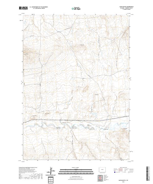
2021 Map of Gates Butte
USGS Topo · Published 2021About this map
High desert draws and distinctive volcanic-like formations define this 2021 landscape in Fremont County. The terrain is characterized by a series of prominent elevations, including Gates Butte and Gibbs Butte in the west and Day Butte to the east. These landmarks provided critical orientation points for travelers through the region's arid expanses. The drainage network is particularly detailed, showing how seasonal runoff has carved features like Rate Draw, Fuller Gulch, and Sheep Camp Draw into the basin floor.
Find a feature on this map
26 named features on this map. Tap any name to fly to it.
Don’t see what you’re looking for? This feature index may not catch every label — zoom into the map to look around manually.
Map Details
Editions of this 2021 Gates Butte Map
This is the sole edition of this map. No revisions or reprints were ever made.
Other maps of this area

1952 · Squaw Butte NE
USGS Topo · 1:24,000

1952 · Ocla Draw
USGS Topo · 1:24,000

1952 · Gates Butte
USGS Topo · 1:24,000

1952 · Moneta
USGS Topo · 1:24,000

1952 · Picard Ranch
USGS Topo · 1:24,000

1952 · Lysite
USGS Topo · 1:24,000

1952 · Arapahoe Butte
USGS Topo · 1:24,000

1952 · De Pass
USGS Topo · 1:24,000

1952 · Guffy Peak
USGS Topo · 1:24,000

1955 · Arminto
USGS Topo · 1:250,000