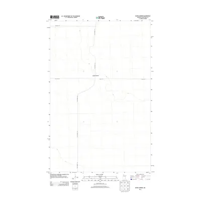
2013 Map of Gates Corner
USGS Topo · Published 2013About this map
Gates Corner sits at a remote crossroads in northern Minnesota, marking a sparse settlement pattern characteristic of this portion of Beltrami County. The landscape is defined by its low-lying, often marshy topography and a rectilinear grid of rural roads and trails. North-south transit is dominated by Dicks Parkway Rd, while east-west movement relies on Moose River Rd and Gladens Trl. This early 21st-century survey illustrates how contemporary land use continues to follow the established surveyor's lines, with significant portions of the terrain remaining undeveloped or utilized for forestry and wildlife passage. The presence of Morehouse Rd at the northern edge suggests the edge of localized landholdings in an otherwise open, low-relief wilderness area.
Find a feature on this map
5 named features on this map. Tap any name to fly to it.
Don’t see what you’re looking for? This feature index may not catch every label — zoom into the map to look around manually.
Map Details
Editions of this 2013 Gates Corner Map
This is the sole edition of this map. No revisions or reprints were ever made.
Other maps of this area
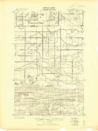
1918 · Winterroad
USGS Topo · 1:62,500
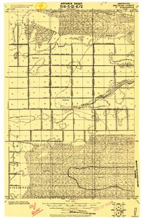
1918 · F
USGS Topo · 1:62,500
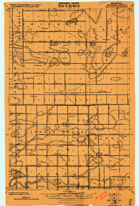
1918 · Malcolm
USGS Topo · 1:62,500
1954 · Roseau
USGS Topo · 1:250,000
1957 · Roseau
USGS Topo · 1:250,000
1958 · Roseau
USGS Topo · 1:250,000
1968 · Mulligan Lake SW
USGS Topo · 1:24,000
1968 · Mulligan Lake
USGS Topo · 1:24,000
1969 · Winter Road Lake SW
USGS Topo · 1:24,000
1973 · Gates Corner
USGS Topo · 1:24,000