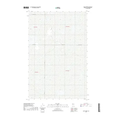
2019 Map of Gates Corner
USGS Topo · Published 2019About this map
Beltrami County wetlands and township boundaries dominate this northern Minnesota landscape. Defined by the intersecting lines of Co Rd 18 and Moose River Rd Nw, the area shows a distinct grid-like organization typical of the Public Land Survey System. The map documents a sparsely settled region within the boundaries of t158n r37w, t158n r36w, t157n r37w, and t157n r36w. Local infrastructure is represented by a handful of established routes, including the north-south passage of Dicks Pkwy and the northern reach of Morehouse Rd Nw. The predominance of marshland and low-lying terrain suggests a landscape largely shaped by natural hydrology, with development primarily restricted to the thin corridor of county and local roads.
Find a feature on this map
8 named features on this map. Tap any name to fly to it.
Don’t see what you’re looking for? This feature index may not catch every label — zoom into the map to look around manually.
Map Details
Editions of this 2019 Gates Corner Map
This is the sole edition of this map. No revisions or reprints were ever made.
Other maps of this area
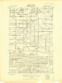
1918 · Winterroad
USGS Topo · 1:62,500
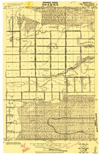
1918 · F
USGS Topo · 1:62,500
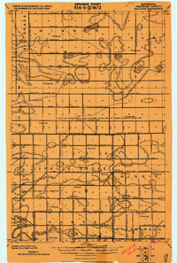
1918 · Malcolm
USGS Topo · 1:62,500
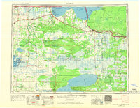
1954 · Roseau
USGS Topo · 1:250,000
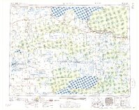
1957 · Roseau
USGS Topo · 1:250,000
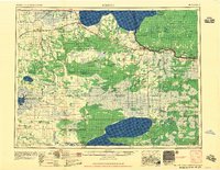
1958 · Roseau
USGS Topo · 1:250,000
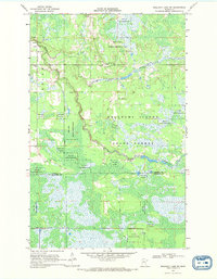
1968 · Mulligan Lake SW
USGS Topo · 1:24,000
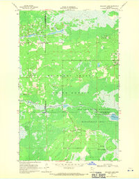
1968 · Mulligan Lake
USGS Topo · 1:24,000
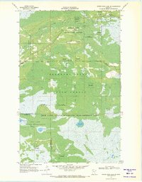
1969 · Winter Road Lake SW
USGS Topo · 1:24,000
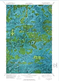
1973 · Gates Corner
USGS Topo · 1:24,000