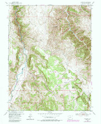
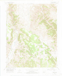
1954 Map of Gateview
USGS Topo · Published 1984About this map
The confluence of the Gunnison River and the Lake Fork serves as the focal point for this mountainous region of Gunnison County. The small settlement of Gateview occupies a strategic bend in the river, situated along the path of the former Lake Fork Railroad Grade. This transport corridor, carved through the steep gulches, highlights the area's transition from 19th-century industrial efforts to mid-20th-century remote ranching and recreation.
Find a feature on this map
23 named features on this map. Tap any name to fly to it.
Don’t see what you’re looking for? This feature index may not catch every label — zoom into the map to look around manually.
Map Details
Editions of this 1954 Gateview Map
6 editions found
Other maps of this area

1903 · Lake City
USGS Topo · 1:62,500

1905 · Lake City
USGS Topo · 1:62,500

1908 · Uncompahgre
USGS Topo · 1:125,000

1911 · Uncompahgre
USGS Topo · 1:125,000

1954 · Iola
USGS Topo · 1:24,000

1954 · Cebolla
USGS Topo · 1:24,000

1954 · Sapinero
USGS Topo · 1:24,000

1954 · Gateview
USGS Topo · 1:24,000

1956 · Montrose
USGS Topo · 1:250,000

1959 · Montrose
USGS Topo · 1:250,000