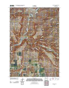
2011 Map of Gateway
USGS Topo · Published 2011About this map
The confluence of the Deschutes River and the Warm Springs River anchors this landscape in Jefferson County, where the high desert meets a complex network of waterways and canyons. The small settlement of Gateway serves as a local hub, situated near the headwaters of Mud Springs Creek and the notable passage of Lyle Gap to the southeast. To the north, the rail-oriented site of South Junction marks the convergence of transit and terrain where the river valleys narrow significantly.
Find a feature on this map
37 named features on this map. Tap any name to fly to it.
Don’t see what you’re looking for? This feature index may not catch every label — zoom into the map to look around manually.
Map Details
Editions of this 2011 Gateway Map
This is the sole edition of this map. No revisions or reprints were ever made.
Other maps of this area
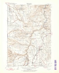
1928 · Madras
USGS Topo · 1:125,000
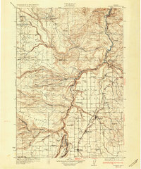
1931 · Madras
USGS Topo · 1:125,000
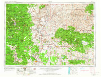
1955 · Bend
USGS Topo · 1:250,000
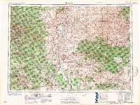
1957 · Bend
USGS Topo · 1:250,000
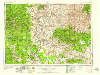
1958 · Bend
USGS Topo · 1:250,000
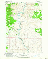
1962 · Kaskela
USGS Topo · 1:24,000
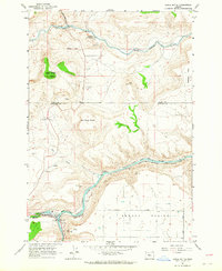
1962 · Eagle Butte
USGS Topo · 1:24,000
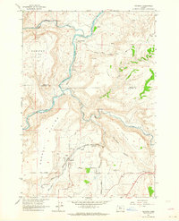
1962 · Gateway
USGS Topo · 1:24,000
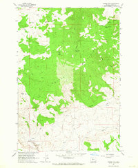
1962 · Mutton Mtn
USGS Topo · 1:24,000
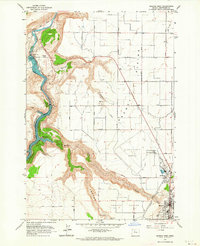
1963 · Madras West
USGS Topo · 1:24,000