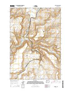
2014 Map of Gateway
USGS Topo · Published 2014About this map
The Deschutes River and Warm Springs River meet in the northwestern corner of this territory, carving deep drainages that define the high desert landscape. The settlement of Gateway sits at the base of the Agency Plains, a prominent plateau that dominates the southwestern quadrant. This area serves as a transition point between the river canyons and the higher agricultural flats, with a network of rural roads such as NE Gateway Grade and NE Clemens Dr connecting scattered homesteads and ranching interests.
Find a feature on this map
45 named features on this map. Tap any name to fly to it.
Don’t see what you’re looking for? This feature index may not catch every label — zoom into the map to look around manually.
Map Details
Editions of this 2014 Gateway Map
This is the sole edition of this map. No revisions or reprints were ever made.
Other maps of this area
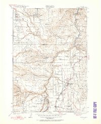
1928 · Madras
USGS Topo · 1:125,000
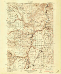
1931 · Madras
USGS Topo · 1:125,000
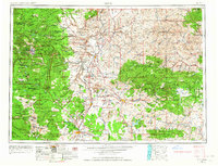
1955 · Bend
USGS Topo · 1:250,000
1957 · Bend
USGS Topo · 1:250,000
1958 · Bend
USGS Topo · 1:250,000
1962 · Kaskela
USGS Topo · 1:24,000
1962 · Eagle Butte
USGS Topo · 1:24,000
1962 · Gateway
USGS Topo · 1:24,000
1962 · Mutton Mtn
USGS Topo · 1:24,000
1963 · Madras West
USGS Topo · 1:24,000