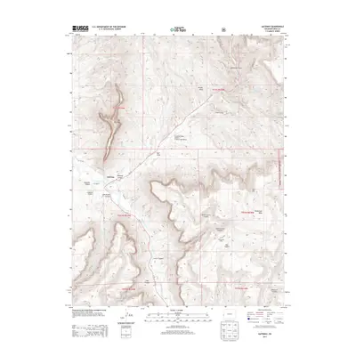
2013 Map of Gateway
USGS Topo · Published 2013About this map
The Dolores River winds through deep sandstone corridors in this Western Mesa County landscape, where the small settlement of Gateway sits at the confluence with W Cr. The terrain is defined by dramatic vertical relief, dominated by the massive formation of The Palisade and the breadth of Unaweep Canyon to the north. Transportation and access in this era are facilitated by Co-141, which follows the river's path, and private aviation sites like Hubbard Airport and Hendricks Field Airport at West Creek Ranch. To the east, the boundary of the Uncompahgre National Forest marks a transition into higher elevations including Tenderfoot Mesa. The map reveals a complex network of named drainages such as John Brown Canyon and Bull Canyon, reflecting the intricate erosion patterns of the Colorado Plateau.
Find a feature on this map
37 named features on this map. Tap any name to fly to it.
Don’t see what you’re looking for? This feature index may not catch every label — zoom into the map to look around manually.
Map Details
Editions of this 2013 Gateway Map
This is the sole edition of this map. No revisions or reprints were ever made.
Other maps of this area
1885 · La Sal
USGS Topo · 1:250,000
1949 · Juanita Arch
USGS Topo · 1:24,000
1949 · Calamity Mesa
USGS Topo · 1:24,000
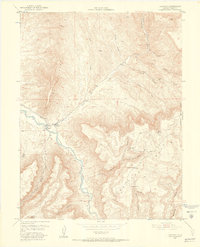
1949 · Gateway
USGS Topo · 1:24,000
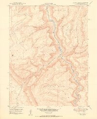
1950 · Juanita Arch
USGS Topo · 1:24,000
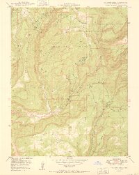
1950 · Calamity Mesa
USGS Topo · 1:24,000
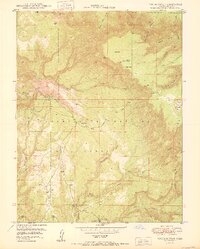
1950 · Pine Mountain
USGS Topo · 1:24,000
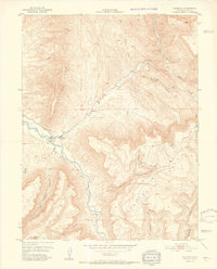
1952 · Gateway
USGS Topo · 1:24,000
1954 · Mt. Waas 4 SE
USGS Topo · 1:24,000
1954 · Mt. Waas 4 NE
USGS Topo · 1:24,000