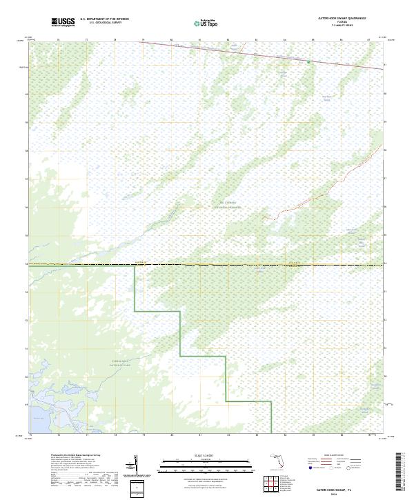
2024 Map of Gator Hook Swamp
USGS Topo · Published 2024About this map
Big Cypress National Preserve and the Everglades National Park dominate this landscape, where the seasonal hydrology of southern Florida is meticulously recorded. The terrain is defined by a series of strands—linear cypress sloughs that channel water southward toward the coast—including Skillet Strand, Georges Strand, and the namesake Gator Hook Strand. This sheet captures the intersection of conservation lands and early 20th-century infrastructure, centered on the Tamiami Canal Number C-4 which runs along the northern boundary.
Find a feature on this map
28 named features on this map. Tap any name to fly to it.
Don’t see what you’re looking for? This feature index may not catch every label — zoom into the map to look around manually.
Map Details
Editions of this 2024 Gator Hook Swamp Map
This is the sole edition of this map. No revisions or reprints were ever made.
Other maps of this area

1956 · Miami
USGS Topo · 1:250,000

1958 · Miami
USGS Topo · 1:250,000

1972 · Monroe Station NE
USGS Topo · 1:24,000

1972 · Big Boy Lake
USGS Topo · 1:24,000

1972 · Burns Lake
USGS Topo · 1:24,000

1972 · Ochopee
USGS Topo · 1:24,000

1973 · Gator Hook Swamp
USGS Topo · 1:24,000

1973 · Pavilion Key
USGS Topo · 1:24,000

1973 · Monroe Station
USGS Topo · 1:24,000

1973 · Alligator Bay
USGS Topo · 1:24,000