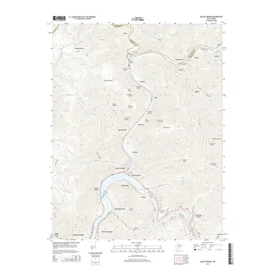
2014 Map of Gauley Bridge
USGS Topo · Published 2014About this map
Gauley River and Kanawha River converge in this 2014 survey, defining a landscape shaped by narrow hollows and high ridges along the Nicholas and Fayette county line. The settlement of Gauley Bridge sits at this critical hydraulic junction, where the waters from Kanawha Falls meet the descending Gauley. The map reveals a high density of named hollows, such as Windsor Hollow, Litchford Hollow, and Log Chute Hollow, which illustrate the region's steep topography and its history of timber or resource transport.
Find a feature on this map
97 named features on this map. Tap any name to fly to it.
Don’t see what you’re looking for? This feature index may not catch every label — zoom into the map to look around manually.
Map Details
Editions of this 2014 Gauley Bridge Map
This is the sole edition of this map. No revisions or reprints were ever made.
Other maps of this area

1897 · Kanawha Falls
USGS Topo · 1:125,000

1900 · Kanawha Falls
USGS Topo · 1:125,000

1901 · Kanawha Falls
USGS Topo · 1:125,000

1907 · Clendenin
USGS Topo · 1:62,500

1908 · Clay
USGS Topo · 1:48,000

1908 · Fayetteville
USGS Topo · 1:48,000

1908 · Montgomery
USGS Topo · 1:48,000

1909 · Clendenin
USGS Topo · 1:62,500

1910 · Clay
USGS Topo · 1:62,500

1910 · Fayetteville
USGS Topo · 1:62,500