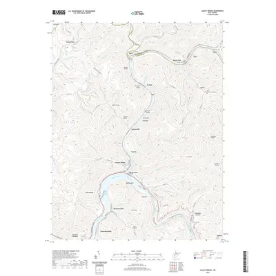
2019 Map of Gauley Bridge
USGS Topo · Published 2019About this map
The confluence of the Gauley River and the New River forms the Kanawha River at the heart of this Appalachian survey. This strategic junction is anchored by the town of Gauley Bridge, where the Midland Trl follows the rugged riverbanks. The landscape is defined by its deep river valleys and the industrial influence of the Southern Rye, which snakes through the steep terrain to serve the riverside settlements. Downriver, the industrial character continues at Glen Ferris near the Kanawha Falls, while the surrounding hills are dotted with small mountain communities like Ansted and Boonesborough.
Find a feature on this map
99 named features on this map. Tap any name to fly to it.
Don’t see what you’re looking for? This feature index may not catch every label — zoom into the map to look around manually.
Map Details
Editions of this 2019 Gauley Bridge Map
This is the sole edition of this map. No revisions or reprints were ever made.
Other maps of this area

1897 · Kanawha Falls
USGS Topo · 1:125,000

1900 · Kanawha Falls
USGS Topo · 1:125,000

1901 · Kanawha Falls
USGS Topo · 1:125,000

1907 · Clendenin
USGS Topo · 1:62,500

1908 · Clay
USGS Topo · 1:48,000

1908 · Fayetteville
USGS Topo · 1:48,000

1908 · Montgomery
USGS Topo · 1:48,000

1909 · Clendenin
USGS Topo · 1:62,500

1910 · Clay
USGS Topo · 1:62,500

1910 · Fayetteville
USGS Topo · 1:62,500