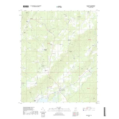
2018 Map of Gaylesville
USGS Topo · Published 2018About this map
Gaylesville serves as a primary center of activity in this part of Cherokee County, situated along the banks of the Chattooga River as it flows toward the expansive Cedar Bluff. The landscape is defined by the prominent ridge lines of Lookout Mountain and Shinbone Ridge, which frame several small rural communities and historic crossroads. Significant agricultural valleys connect Blanche in the north with Broomtown and the area known as Broomtown Valley.
Find a feature on this map
8 named features on this map. Tap any name to fly to it.
Don’t see what you’re looking for? This feature index may not catch every label — zoom into the map to look around manually.
Map Details
Editions of this 2018 Gaylesville Map
This is the sole edition of this map. No revisions or reprints were ever made.
Other maps of this area

1886 · Rome
USGS Topo · 1:125,000

1893 · Fort Payne
USGS Topo · 1:125,000

1898 · Rome
USGS Topo · 1:125,000

1898 · Fort Payne
USGS Topo · 1:125,000

1899 · Rome
USGS Topo · 1:125,000

1900 · Fort Payne
USGS Topo · 1:125,000

1904 · Rome
USGS Topo · 1:125,000

1946 · Ft Payne
USGS Topo · 1:24,000
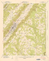
1947 · Ft Payne
USGS Topo · 1:24,000

1955 · Rome
USGS Topo · 1:250,000