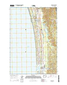
2014 Map of Gearhart
USGS Topo · Published 2014About this map
Clatsop Plains defines the coastal geography of this 2014 survey, a stretch of dunes and wetlands between the Pacific Ocean and the rising Clatsop Ridge. This landscape is heavily shaped by the presence of Lewis and Clark National and State Historical Parks, which preserve the coastal legacy of the region. The coastal communities of Gearhart and northern Seaside are detailed here, showing a mix of residential expansion and preserved natural spaces.
Find a feature on this map
97 named features on this map. Tap any name to fly to it.
Don’t see what you’re looking for? This feature index may not catch every label — zoom into the map to look around manually.
Map Details
Editions of this 2014 Gearhart Map
This is the sole edition of this map. No revisions or reprints were ever made.
Other maps of this area
1919 · Astoria
USGS Topo · 1:62,500
1939 · Astoria
USGS Topo · 1:62,500
1940 · Cape Falcon
USGS Topo · 1:62,500
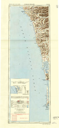
1943 · Copalis Beach
USGS Topo · 1:250,000

1948 · Vancouver
USGS Topo · 1:250,000
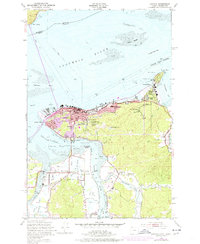
1949 · Astoria
USGS Topo · 1:24,000
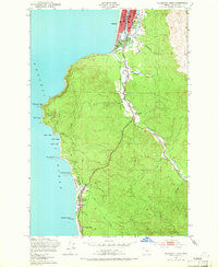
1949 · Tillamook Head
USGS Topo · 1:24,000
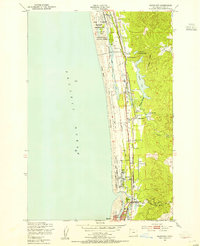
1949 · Gearhart
USGS Topo · 1:24,000
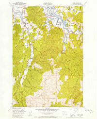
1949 · Olney
USGS Topo · 1:24,000
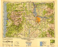
1950 · Vancouver
USGS Topo · 1:250,000