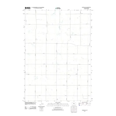
2012 Map of Geddes SE
USGS Topo · Published 2012About this map
The agrarian landscape of Douglas County is defined by a rigid grid of section-line roads, a layout that has remained remarkably consistent since the township's early settlement. Saint Paul Cem sits centrally within the eastern portion of the map, providing a fixed point for genealogical research in this sparsely populated region. Further south, Cohee Cem serves as another quiet landmark among the fields. The map is crossed by significant thoroughfares including 380th Ave and 381st Ave, which coordinate with east-west routes like 281st St. This 2012 survey illustrates the enduring nature of the rural township structure, where small cemeteries and intersecting gravel roads represent the primary surviving markers of the area's local history and community centers.
Find a feature on this map
18 named features on this map. Tap any name to fly to it.
Don’t see what you’re looking for? This feature index may not catch every label — zoom into the map to look around manually.
Map Details
Editions of this 2012 Geddes SE Map
This is the sole edition of this map. No revisions or reprints were ever made.
Other maps of this area

1955 · Mitchell
USGS Topo · 1:250,000

1959 · Mitchell
USGS Topo · 1:250,000

1964 · Ravinia
USGS Topo · 1:24,000

1964 · Lake Andes NW
USGS Topo · 1:24,000

1964 · Lake Andes
USGS Topo · 1:24,000

1977 · Lake Andes NW
USGS Topo · 1:24,000
1977 · Lake Andes
USGS Topo · 1:24,000

1979 · Geddes SE
USGS Topo · 1:24,000
1979 · Geddes
USGS Topo · 1:24,000

1979 · New Holland
USGS Topo · 1:24,000