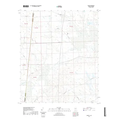
2018 Map of Geiger
USGS Topo · Published 2018About this map
The town of Geiger sits at the northern edge of this landscape, situated near the headwaters of Caney Cr and Hatchet Cr. This rural corridor of Sumter County is defined by its complex hydrology, where numerous creeks and family-named lakes like Williams Lake and Liars Lake dot the terrain. The eastern portion of the quadrangle is notably wetland-heavy, featuring New Big Lake, Sibley Pond, and Barns Lake within the Bodka Creek drainage basin.
Find a feature on this map
44 named features on this map. Tap any name to fly to it.
Don’t see what you’re looking for? This feature index may not catch every label — zoom into the map to look around manually.
Map Details
Editions of this 2018 Geiger Map
This is the sole edition of this map. No revisions or reprints were ever made.
Other maps of this area
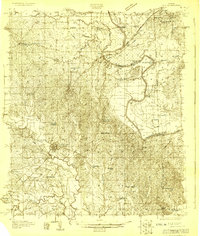
1929 · Epes
USGS Topo · 1:48,000
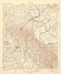
1932 · Epes
USGS Topo · 1:62,500
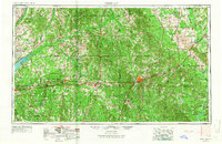
1953 · Meridian
USGS Topo · 1:250,000
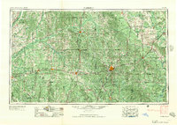
1957 · Meridian
USGS Topo · 1:250,000
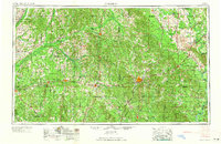
1965 · Meridian
USGS Topo · 1:250,000
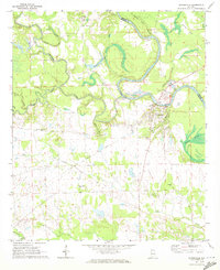
1970 · Gainesville
USGS Topo · 1:24,000
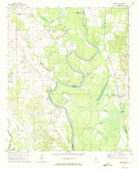
1970 · Warsaw
USGS Topo · 1:24,000
1973 · Panola
USGS Topo · 1:24,000
1973 · Scooba
USGS Topo · 1:24,000
1973 · Geiger
USGS Topo · 1:24,000