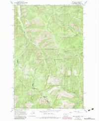
1966 Map of Gem Peak
USGS Topo · Published 1984About this map
Gem Peak anchors a remote stretch of the Bitterroot Range, marking the high-altitude divide between the Kaniksu National Forest and Coeur d'Alene National Forest. This 1966 survey, updated with 1980s aerial data, captures a landscape defined by sharp ridges and deep drainage basins along the Idaho-Montana border. A lookout tower and radio facility atop high points like Eighty Peak emphasize the importance of fire surveillance and communication in these heavily wooded corridors during the mid-to-late 20th century.
Find a feature on this map
35 named features on this map. Tap any name to fly to it.
Don’t see what you’re looking for? This feature index may not catch every label — zoom into the map to look around manually.
Map Details
Editions of this 1966 Gem Peak Map
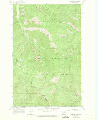
2 editions found
Other maps of this area

1909 · Cataldo
USGS Topo · 1:125,000

1911 · Cataldo
USGS Topo · 1:125,000

1911 · Priest Lake
USGS Topo · 1:250,000

1913 · Priest Lake
USGS Topo · 1:250,000

1920 · Libby
USGS Topo · 1:125,000

1930 · Libby
USGS Topo · 1:125,000

1932 · Libby
USGS Topo · 1:125,000

1932 · Trout Creek
USGS Topo · 1:125,000

1935 · Trout Creek
USGS Topo · 1:125,000

1936 · Trout Creek
USGS Topo · 1:125,000